
Why it matters
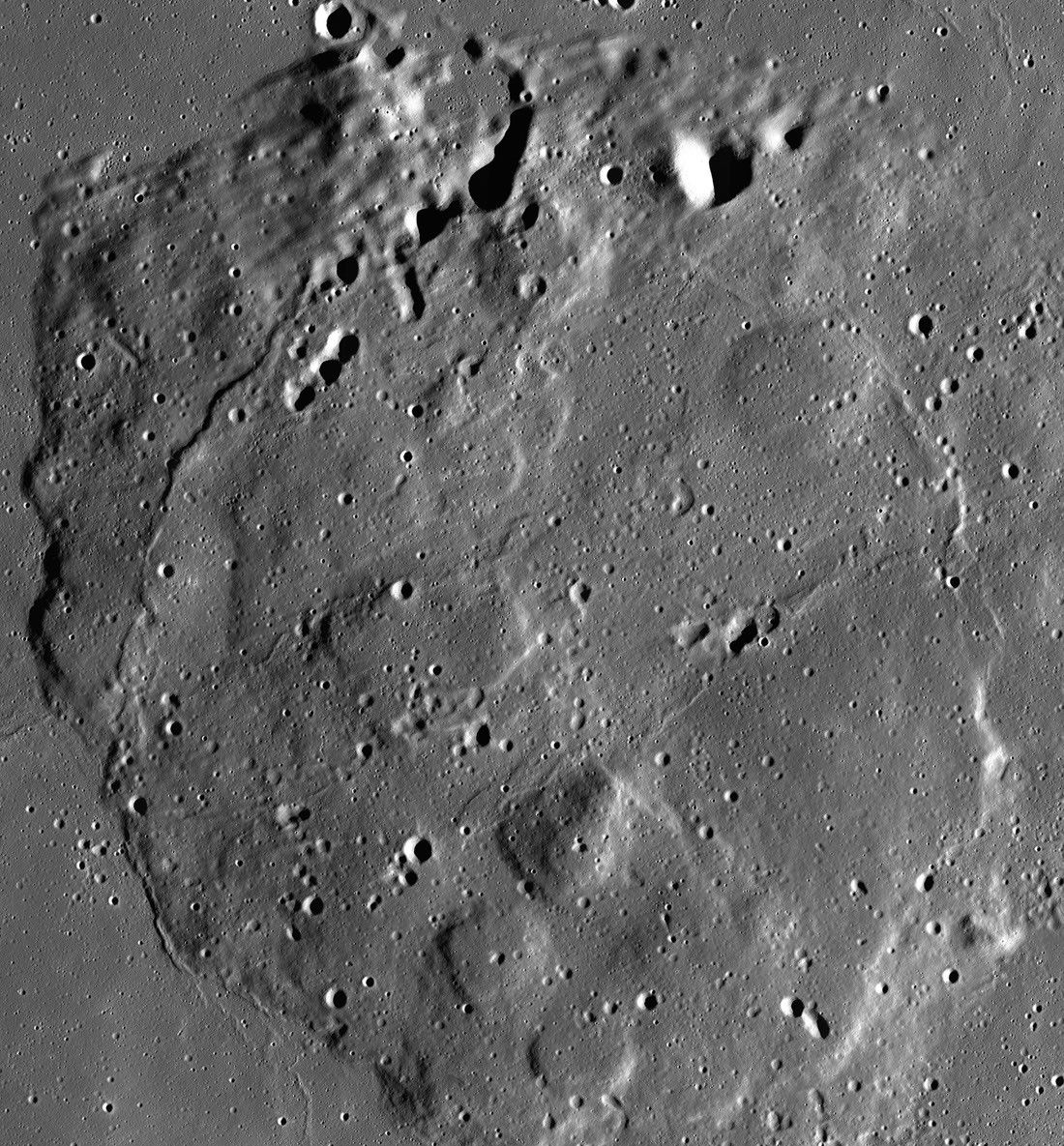
NASA scientists used artificial intelligence to automatically map the Perseverance rover’s traverses on Mars, turning raw HiRISE images into a detailed, searchable route map.
Learn more
Notes
This article was expanded by the maintenance workflow to improve depth and readability.
Notes
This article was expanded by the maintenance workflow to improve depth and readability.
Notes
This article was expanded by the maintenance workflow to improve depth and readability.
Notes
This article was expanded by the maintenance workflow to improve depth and readability.
Notes
This article was expanded by the maintenance workflow to improve depth and readability.
Notes
This article was expanded by the maintenance workflow to improve depth and readability.
Notes
This article was expanded by the maintenance workflow to improve depth and readability.
Notes
This article was expanded by the maintenance workflow to improve depth and readability.
Notes
This article was expanded by the maintenance workflow to improve depth and readability.
Notes
This article was expanded by the maintenance workflow to improve depth and readability.
Notes
This article was expanded by the maintenance workflow to improve depth and readability.
Notes
This article was expanded by the maintenance workflow to improve depth and readability.
Notes
This article was expanded by the maintenance workflow to improve depth and readability.
Notes
This article was expanded by the maintenance workflow to improve depth and readability.
Notes
This article was expanded by the maintenance workflow to improve depth and readability.